MEMPHIS, Tenn. — One more day of heat and humidity is expected across the Mid-South, before some cooler temperatures bring relief.
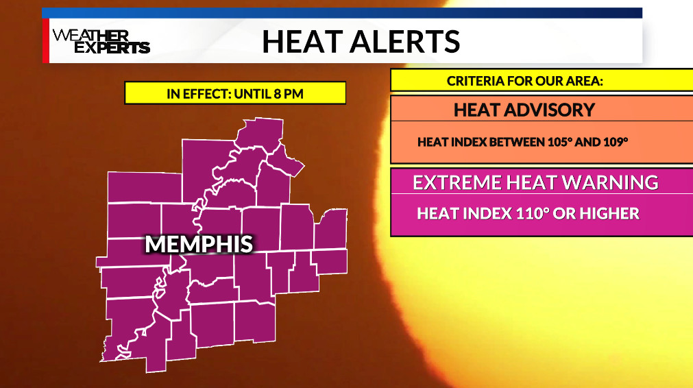
With high temperatures climbing back into the mid-upper 90s on Thursday, Extreme Heat Warnings are back in effect with heat indexes in the 105-110 degree + range.
An approaching cold front will take advantage of the heat and humidity to kick up a few thunderstorms during the afternoon and evening. There is a slight chance a few of these could be marginally severe, and the Storm Prediction Center has us in a 1/5 risk. This is mainly for wind.
A majority of the area will avoid severe weather.
The cold front will drop high temperatures from the mid-90s Thursday to the mid-80s Friday.
Much cooler temperatures set in over the weekend, so get out there and enjoy.